A Doggy Day Trip To Grand Falls, NB
What do the world’s biggest fiddleheads, Canada’s second longest train trestle and the biggest waterfall east of Niagra Falls all have in common? You can easily see them all on a day trip to Grand Falls, NB. And that was just what we set out to do one Friday in late September.
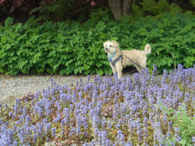
Hi I’m Mozzie and I love to travel with my Mom and Grandma.
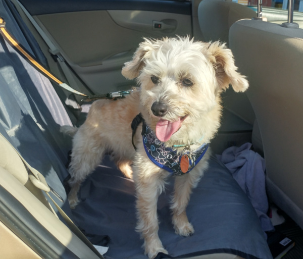
Grand Falls is only about an hour from where we live, and we’ve been there many times before. But after the hurricane last week, Mom and Grandma thought there would be a lot of water coming over the falls. So we set out early with the goal of seeing the Grand Falls waterfall and some other neat attractions.
Mom originally planned the route to start with a drive along the St. John River. Then in Perth we’d drive to Plaster Rock along the Tobique River and start with the giant fiddleheads.
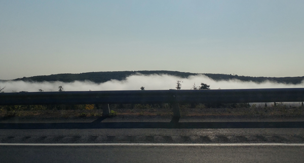
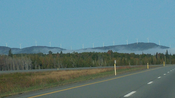
But when we got as far as Woodstock around 9 am, we found it was completely fogged in. So Mom said there wasn’t much point driving along the river, and she decided we’d do the route in the reverse direction. So we headed up to Grand Falls on the highway. It was pretty foggy too until we got north of Perth.
Grand Falls, NB
The forecast was for a bright sunny day and by the time we reached Grand Falls, the fog had burned away and it was a beautiful day. We stopped to get a selfie of me and Mom in front of the Grand Falls town sign on the side of the highway.
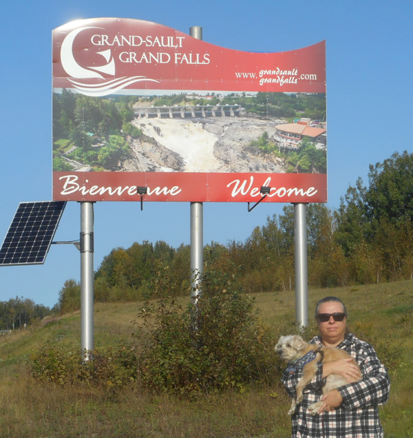
Grand Falls is actually New Brunswick’s only town with an officially bilingual name: Grand Falls/Grand-Sault. The town has more than 5000 people with approximately 80% speaking French and 15% speaking English. I wonder how many speak dog? Woof, woof.
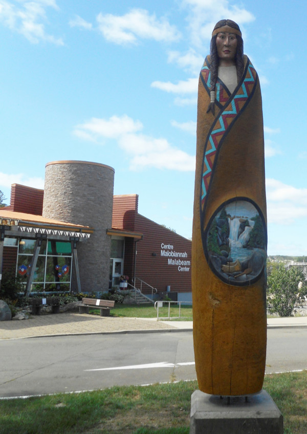
We stopped first at the Malabeam Tourist Information Center which sits right on the edge of the Grand Falls waterfall. It’s very dog friendly outside but I forgot to check if dogs are allowed inside. There are restrooms inside for the humans and some historical photos and a gift shop. But outside, there was lots of grass to roll in and trees to do my business.
The name Malabeam is from a legend about a young Malecite (Maliseet) woman who sacrificed herself to save her people by leading members of an enemy tribe over the falls. There’s a big statue of her with a carving of the waterfall on it by the parking lot.
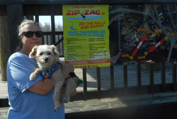
We walked by the platform where people can ride on a zipline across the gorge in front of the falls. It wasn’t open but there’s no way I’d be doing that even if it was. I like to keep all 4 paws safely on the ground (unless I’m being held by Mom of course).
Looking down into the raging, swirling waters, Mom agreed with me. Here’s the zipline website if you think you’d like to try it: https://zipzag.ca/
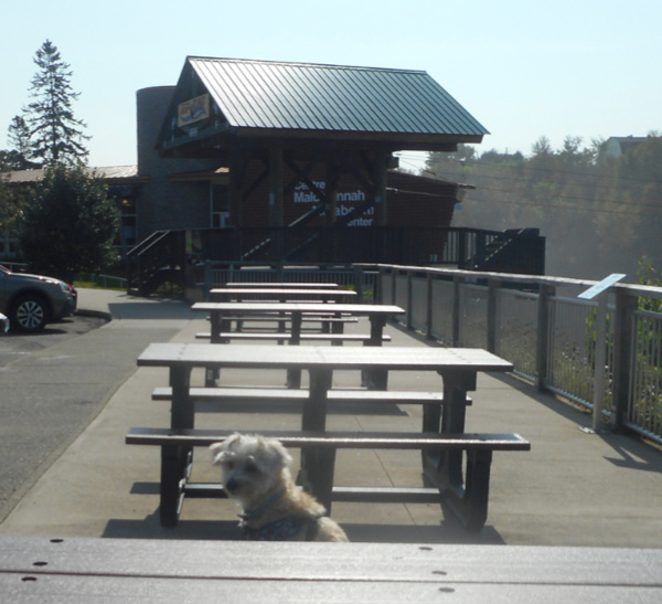
They put in some new picnic tables this year with a great view of the falls. There was so much spray that there was water on the tables.
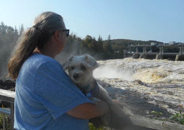
The falls were awesome. Mom and Grandma both said they’d never seen so much water coming over when they’ve visited before, even in the spring. We walked down behind the Malabeam Center and along some paths that led to platforms overlooking the water.
The falls are 23 meters or 75 feet high. The waterfall is seasonal and usually has the most water coming over in the spring. When the water is low you can see the neat rocks in the gorge.
Click here to see a painting of what the falls looked like before they put in the dam and pictures of the falls in all 4 seasons.
Then we walked out on the Ron Turcotte Bridge to get better views of the waterfall and the gorge. You can see the Malabeam Center on the right side of the falls.
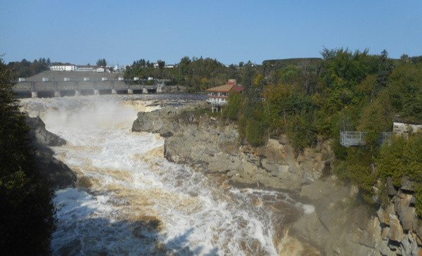
The bridge is named after a famous Canadian jockey from the area who won horse racing’s highest honor – the Triple Crown back in 1973.
You can learn more about Mr. Turcotte here.
This is the fourth bridge that they built here. Here’s an interesting story of the history of the bridges.
We went back to get the car and headed toward the bridge. On the way, we passed a building on the left that has a Farmer’s Market every Saturday morning from May to October.
It also has the Grand Falls Historical Museum. Mom did some research when we got home and found out that back in 1904 a guy actually walked on a tightrope across the falls. His balance pole is in the museum. You can read more about him here.
After we drove across the bridge, we headed up Broadway Boulevard which claims to be the widest Main Street east of Winnipeg.
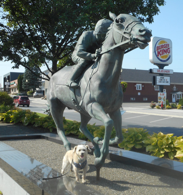
First we stopped to take pictures of a bronze statue that was put up to honor Mr. Turcotte and his famous horse, Secretariat.
Here’s an article about the statue.
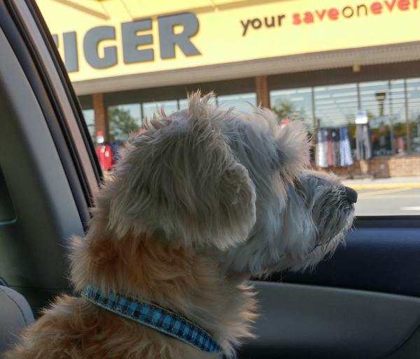
Broadway Boulevard has lots of shops and restaurants. Grandma went in one store called Giant Tiger but Mom told me I couldn’t go in. I don’t understand why they let a tiger in and not dogs. Dogs would be friendlier to the customers.
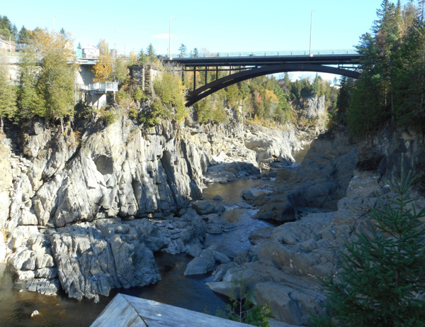
There are footpaths along the Grand Falls Gorge. You can do one on the other side of the river from the Malabeam Center if you park on Broadway Boulevard and walk back towards the bridge. The path is on your left. There are several lookoff platforms and the platforms for the ziplines.
We did that trail a few years ago. There wasn’t as much water then. This shot was taken in October 2017 across from the Malabeam Center looking downstream.
Another trail is in the campground. You can park outside the campground on Victoria Street near the tennis courts and walk in to the trail.
Years ago there was a boat tour and Mom said she went down a lot of steps to get to the boat. Now you can go down 401 steps to the river bank at the La Rochelle Center but we didn’t do that this time around.
Later another tour company operated a boat tour that came in from the opposite end of the gorge and there were no steps. Mom liked that one better. But they are both closed permanently now.
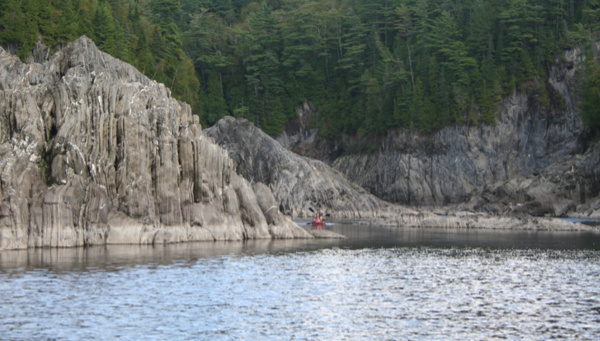
Here are some pictures of the gorge Mom took from that boat tour.
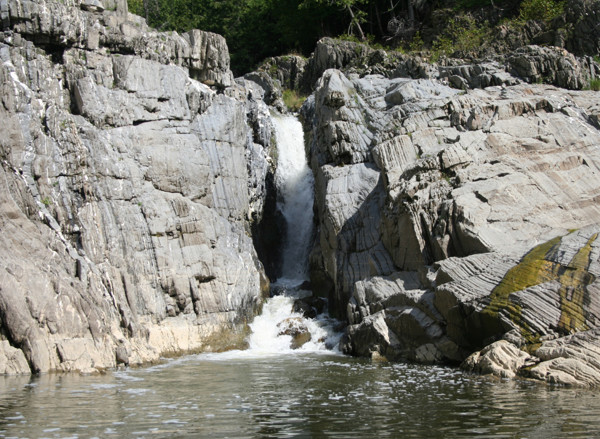
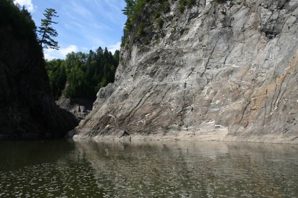
There are lots more things to do in Grand Falls. Here’s a link to their tourism site.
You can also see some interesting heritage houses when you drive around town.
If you’re heading south, Route 105 is a pretty drive along the St. John River and is part of the River Valley Scenic Drive, one of five scenic drives in New Brunswick. We picked it up later in Perth because first we wanted to see two more really cool attractions.
Salmon River Train Trestle
We drove back across the bridge and turned right and headed east on Route 108 towards the village of Plaster Rock.
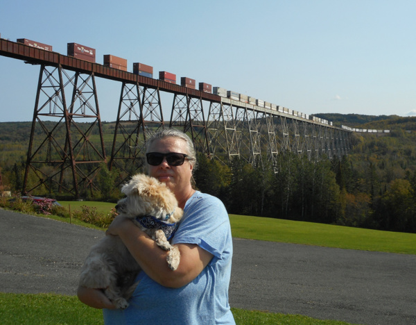
About 10 minutes from Grand Falls, we reached the Salmon River Trestle, the second largest in Canada. It’s pretty impressive. You can see it from Route 108 in the distance but to see it up close turn left on Davis Mill Road and drive out until you see it.
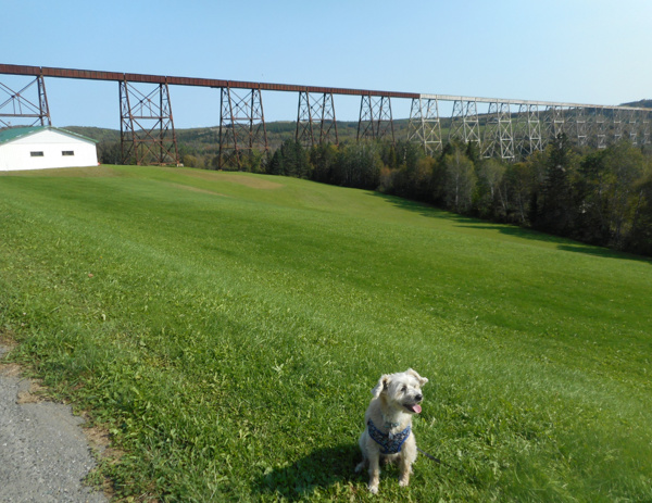
Here’s a link to see an aerial view and some historical pictures along with a YouTube video of the train on the trestle.
Here’s an interesting article about it from CBC news.
We happened across this back in 2017 when we were just out driving around. We didn’t realize that trains still use it until Grandma read an article in a local paper last week about a group of people who explored the area on 4-wheelers and a train came by just as they got there.
We were hoping a train would come by but didn’t really expect one to.
The trestle was built in 1911 and is 1.2 km or 4000 feet long and 60 meters or 200 feet high. It crosses the Salmon River.
We turned right on Davis Old Mill Rd to drive under the trestle. You can catch glimpses of the Salmon River there.
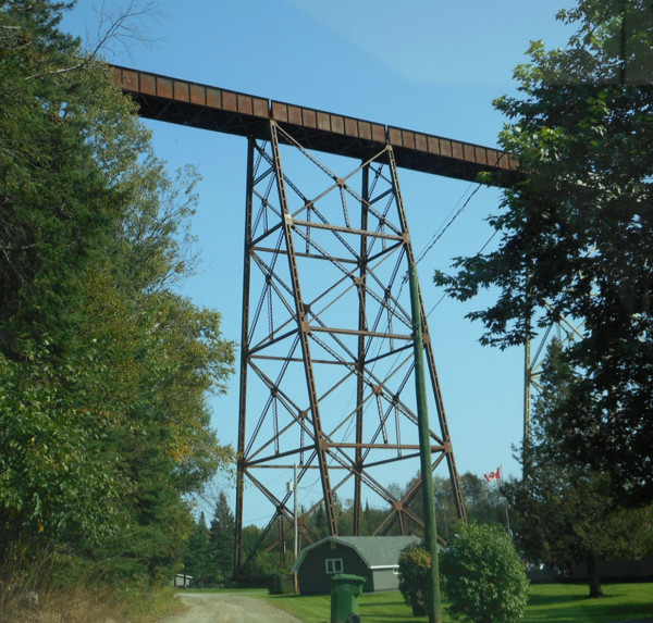
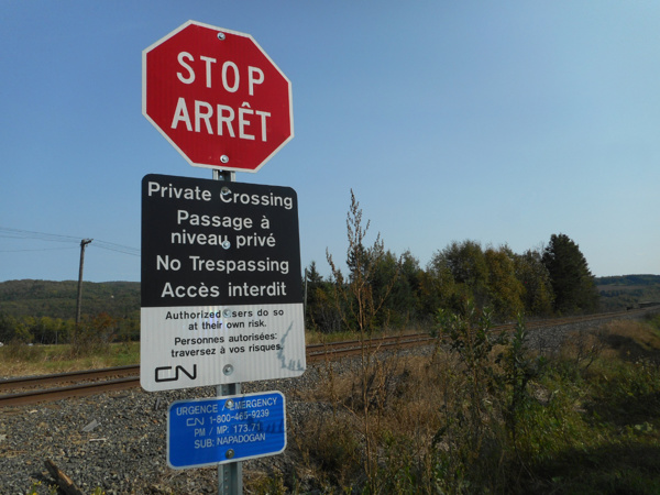
Then we went back up to Davis Mill Road and found a way up to the top of the trestle. Whatever you do, DO NOT WALK OUT on the trestle. Trains come by several times a day.
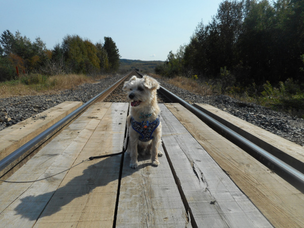
I sat on the tracks so Mom could take my picture. Just then, we heard a train whistle!
I looked over my shoulder quickly but there was no train in sight. Then I heard Grandma cry out. Mom and I looked and she was lying on the ground on the crossing. Her foot had slipped between the rail and the wooden crossing platform and she lost her balance and fell.
Fortunately, she wasn’t hurt. But Mom had to help her get her foot out so she could get back up. We were all a little nervous wondering where the train was. Since we still didn’t see it, Mom quickly snapped a picture of me.
Then Mom saw the train coming. I wanted to sit by the tracks and watch it come by but Mom made me sit in the car. Safety first.
It had only been about 5 minutes from the time we heard the train whistle and when we saw the train. So again, DON’T GO OUT on the trestle. Just take pictures from a safe distance.
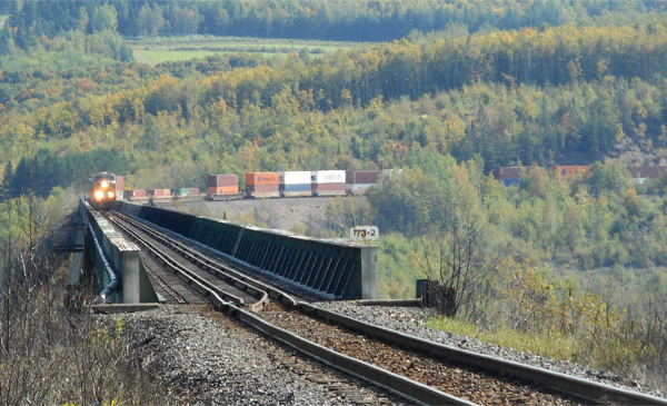
We drove back down to get more shots of the trestle from below with the train on it. It took about 10 minutes for the whole train to pass over. Most of the containers were stacked 2 high. And there was more than one engine.
We were thrilled to have been there at just the right time to see it.
Plaster Rock, NB
Next we drove another 20 minutes along Route 108 to see our final “big” attraction. It was a pretty drive with the Appalachian mountains in the distance.
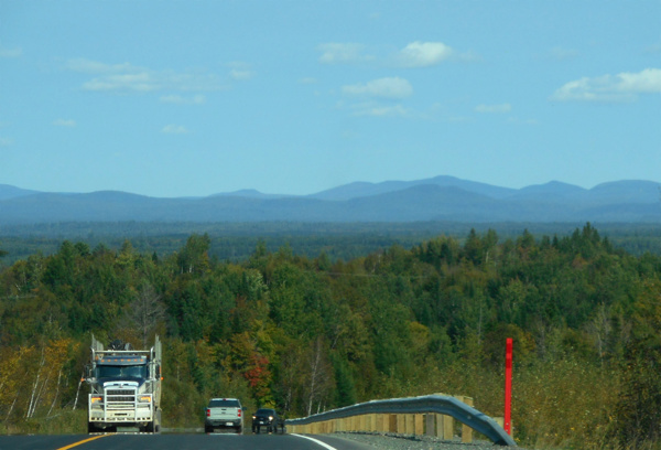
Plaster Rock is on the Appalachian Range Scenic Drive and is about an hour from Mount Carleton Provincial Park. We didn’t have time to drive out there on this trip. But we’ve been there before and it’s definitely worth the drive when you can do it.
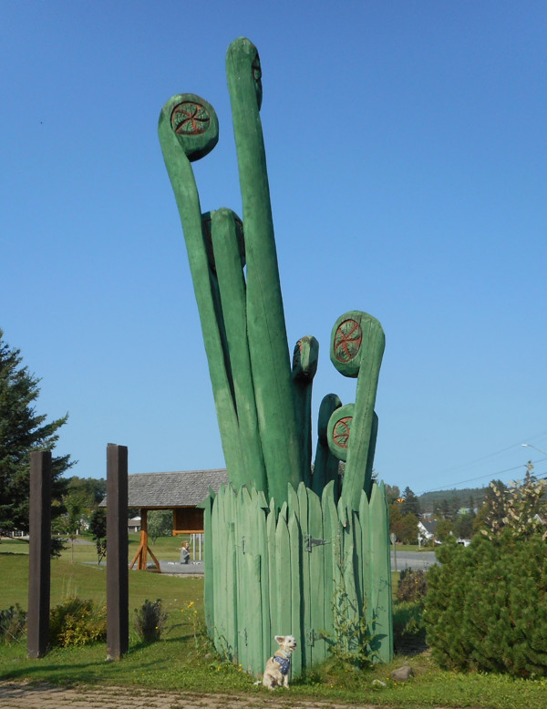
Our goal on this trip was to get a shot of the World’s Largest Fiddleheads.
Fiddleheads are Ostrich Ferns and are considered a delicacy around here. They grow in the spring and only in certain places. I’ve helped Mom pick some. She likes to cook them and eat them with butter and vinegar. You can also freeze them but Mom says they taste better when they’re fresh.
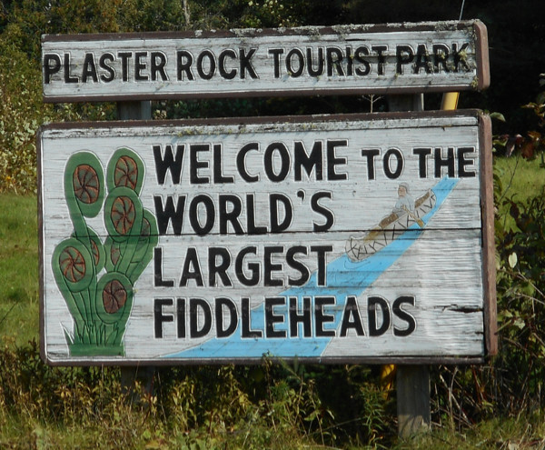
You can see the sculpture from the road at the intersection of Routes 108 and 109, but you can also drive in at the Welcome Centre and park and walk over to them. The wooden sculpture is 7.3 meters tall or 24 ft.
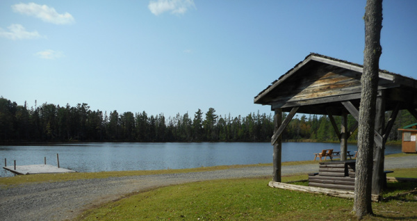
There was also a campground there and the sign said there was a lake so we drove in to have a look. Roulston Lake wasn’t very big but it was pretty.
I got a couple more selfies and then since it was late afternoon, we headed back to Woodstock.
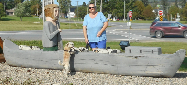
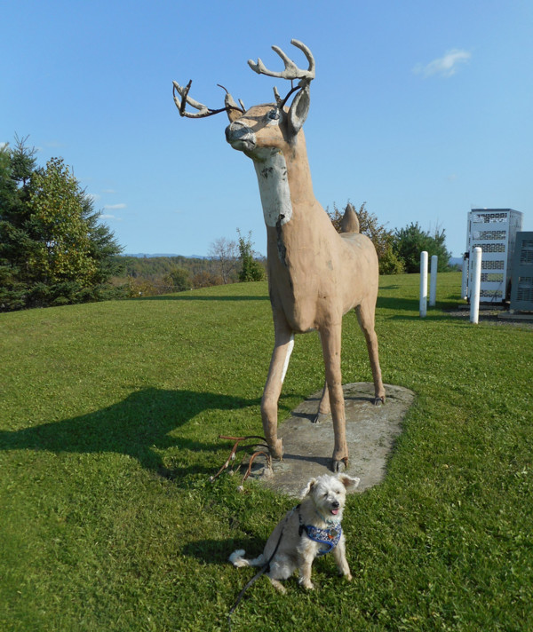
Scenic Drive Back To Woodstock, NB
First we crossed the bridge and followed Route 390 along the Tobique River back to Perth.
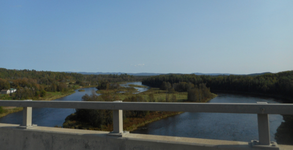
Then from Perth, we came home on Route 105 which follows the St. John River. When we passed the Beechwood Dam, we stopped at a small pull off to see the water shooting out.
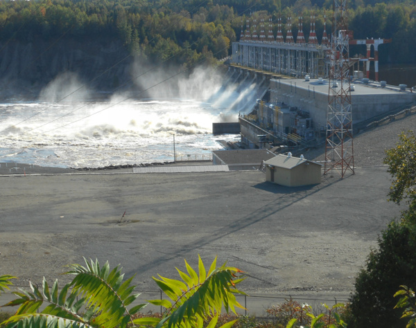
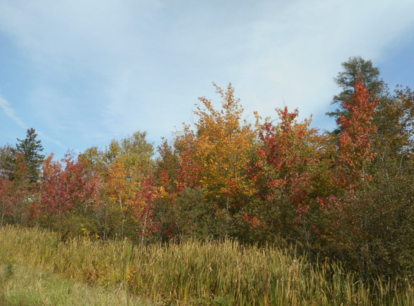
It was September 22 and some trees were starting to change color.
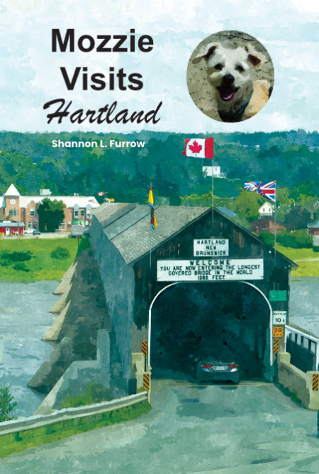
We followed Route 105 all the way back to Woodstock, going through Hartland, home of the World’s Longest Covered Bridge.
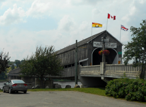
I wrote a book about visiting this bridge and the town of Hartland: Mozzie Visits Hartland
All in all, it was a fun doggy day trip!
Other Mozzie Visits Travel Books:
Please Note: All posts and photos on this site are the sole property of Tails and Travels. Please don’t use them without express written consent. Thank you.

